August 3rd, 2026
2 min read
Climate change, urbanization, and outdated infrastructure are making cities more vulnerable to flooding, unequal access to services and disruptions to daily life.
Integrated data analysis, AI-powered digital twins and geospatial intelligence can help governments and infrastructure planners simulate future scenarios, improve resilience and design smarter cities.
NTT DATA is using artificial intelligence (AI), geographic information systems (GIS), satellite and drone data, and digital twin technology to integrate fragmented data, helping municipalities make informed planning decisions, from building 15-minute cities to strengthening flood resilience.
Inside NTT’s vision for more resilient, equitable cities
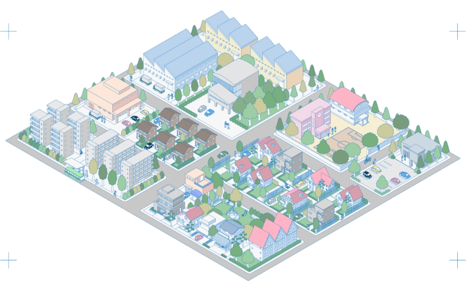
Cities around the world are under growing pressure due to climate change, population growth and aging infrastructure. Municipalities must manage increasing demand for public services, transportation, housing, and environmental protection, while also preparing for more frequent climate-related disasters.
In many regions, data is fragmented making it difficult for city planners and governments to predict risks, allocate resources effectively, and ensure equitable access to essential services.
The consequences are significant. Floods alone devastate millions of hectares of land annually, displace communities, interrupt education, destroy livelihoods, and cost billions of dollars worth of economic damage. At the same time, urban inequality is on the rise. In some cities, residents lack convenient access to schools, healthcare, transportation, grocery stores and other essential services within walking distance. This can lead to traffic congestion, increased carbon emissions and social inequity.
Cities need smarter tools to anticipate change rather than simply react to it. NTT DATA is helping address these challenges by integrating fragmented data to enable better decision-making, using advanced digital twin and geospatial technologies that transform complex data into actionable insights.
Using AI and geospatial intelligence to shape smarter cities
Two recent projects from NTT DATA demonstrate how digital twin technology, AI and geospatial data can integrate fragmented data and help make urban areas more resilient and equitable. One of these projects is in India and the other in Italy.

India: Data-driven urban planning improves flood resilience
The Ganga River in Kanpur, India, overflows in every monsoon. Heavy rains bring destruction, damaging homes and ruining crops. Floods disproportionately affect vulnerable communities, often setting families back economically and socially for years.
But where there’s data, there’s hope.
NTT DATA Information Processing Services is helping to develop a data-driven flood management model that integrates environmental and infrastructure data to identify flood-prone areas and strengthen preparedness.
The model is supported by NTT DATA and executed by IIT Kanpur in collaboration with Terraqua UAV Solutions. It starts by gathering data around rainfall patterns, land use changes and infrastructure design. Using drones, satellite imagery, and GIS technologies, the platform then enables real-time environmental monitoring, improved flood mapping accuracy, earlier warnings for at-risk communities, faster emergency response coordination, and better integration of climate intelligence into local governance.
So far NTT and its partners have mapped more than 3,000 hectares of flood-prone land across 24 villages, helping to protect more than 18,000 people through risk assessment and spatial analysis. The project is highly scalable, and reflects NTT’s broader commitment to using technology for social impact. Embedding geospatial intelligence into local governance has the potential to support communities facing climate crises from heat waves and tornadoes to hurricanes and floods.
“This model can be replicated worldwide, helping communities strengthen resilience and respond more quickly to disasters,” said Gauri Bahulkar, Senior Director of Marketing, Global Social Sustainability & India EBC, NTT DATA. “The project brings together data, partners and the community to create conservation and livelihood solutions that are both scientifically informed and deeply human. Together, we’re creating smarter, safer and more resilient cities for generations to come.”
Italy: AI-powered digital twins enable safer, smarter cities
In rapidly expanding cities around the world, urban planners strive to build neighborhoods in which all citizens have equitable access to services. However, this can be a challenge in the face of overwhelming amounts of data.
NTT DATA has developed a solution that combines AI, digital twins, GIS technologies and predictive analytics into a unified decision-making framework. Called the Territory Digital Twin platform, it creates urban digital twins by integrating open data, socio–demographic data, mobility data, satellite imagery, and public and private service data such as the availability of daycare centers, schools, stores, restaurants, entertainment facilities and bus stops.
“Today, organizations have more data than ever before. Indeed, the challenge is no longer data availability but is the ability to use data effectively,” said Erica Dallatomisina, Innovation Advisor and Project Manager, NTT DATA Italy. “That is exactly the challenge that we would like to solve with Territory Digital Twin.”
Already in use by the City of Cosenza in southern Italy and by Infratel Italia, a telecommunications infrastructure company, the platform is helping administrations move toward a more data-driven and citizen-oriented urban planning approach.
The model works by combining the multiple data sources and identifying relationships, patterns and correlations. Urban planners then have the information they need to do such things as visualize neighborhoods and evaluate how accessible essential services are within a 15-minute walking radius, and simulate the impact new schools, transit stops, supermarkets or healthcare facilities could have on communities – understanding the impact of a change before it’s actually made.
Territory Digital Twin also allows planners to track urban key performance indicators (KPIs) and demographic trends – for instance, helping to identify underserved areas and inequities in access to services, or determining the need for new public facilities such as schools and healthcare centers.
The platform includes three pillars: digitalization, modeling and foresight. Together, they enable cities to move from static planning toward predictive and adaptive urban management – supporting decisions with evidence rather than intuition alone, helping planners compare alternative scenarios, understand possible trade-offs, and identify the most effective options based on measurable KPIs.
"Today, organizations have more data than ever before. Indeed, the challenge is no longer data availability but is the ability to use data effectively."
Why NTT is focusing on resilient urban development
NTT DATA sees data and AI as powerful tools for enabling more inclusive and long-term urban development, recognizing that human and environmental challenges are increasingly interconnected. Climate resilience, equitable access to services, infrastructure modernization, and quality of life can no longer be addressed separately.
By developing AI and data-based solutions that help governments, organizations and residents make evidence-based decisions, NTT is helping urban communities become safer, more efficient, and more equitable.
The future of urban planning
NTT DATA is aiming to help governments and businesses prioritize investments where they are most needed, improve resilience, and monitor the impact of sustainability policies.
This involves building a future in which municipalities can use AI-driven climate adaptation models to monitor extreme weather risks and the health of urban forests and parks. NTT DATA is working toward solutions such as this, as well as autonomous infrastructure systems that dynamically respond to environmental conditions, and real-time city simulations for emergency planning and disaster response. NTT DATA is also aiming to help planners be even more effective with integrated dashboards that combine emissions, transportation, energy, and public health data.
Cities could eventually operate with nearly real-time awareness of infrastructure performance, climate and environmental risks, mobility patterns and community needs.
As data analysis, digital twin and AI technologies continue to evolve, NTT DATA is working alongside partners and local communities to enable this vision of smart, resilient cities for the good of people and the planet.